Bay of Bengal Low Pressure: What It Means for You
Whenever the news talks about a low‑pressure area over the Bay of Bengal, most people wonder if it will bring rain, storms, or just stay out at sea. The short answer: it can do all of those, and it often decides how the Indian monsoon behaves. Below we break down the basics, why it matters for daily life, and what the recent buzz is about.
What is a Bay of Bengal Low‑Pressure System?
A low‑pressure system is simply a pocket of air that is lighter than the surrounding atmosphere. Over the warm waters of the Bay of Bengal, this light air can pick up a lot of moisture. As it moves inland, that moisture turns into clouds, rain, and sometimes strong winds. The India Meteorological Department (IMD) watches these systems closely because they can boost or hold back the monsoon’s northward push.
When the low is strong, it pulls moist air from the south, helping the monsoon reach the interior states. A weak or stalled low, however, can create a “high‑pressure wall” that blocks rain, as we saw in Delhi this week. In short, the strength and path of the low decide whether you’ll need an umbrella or a sun hat.
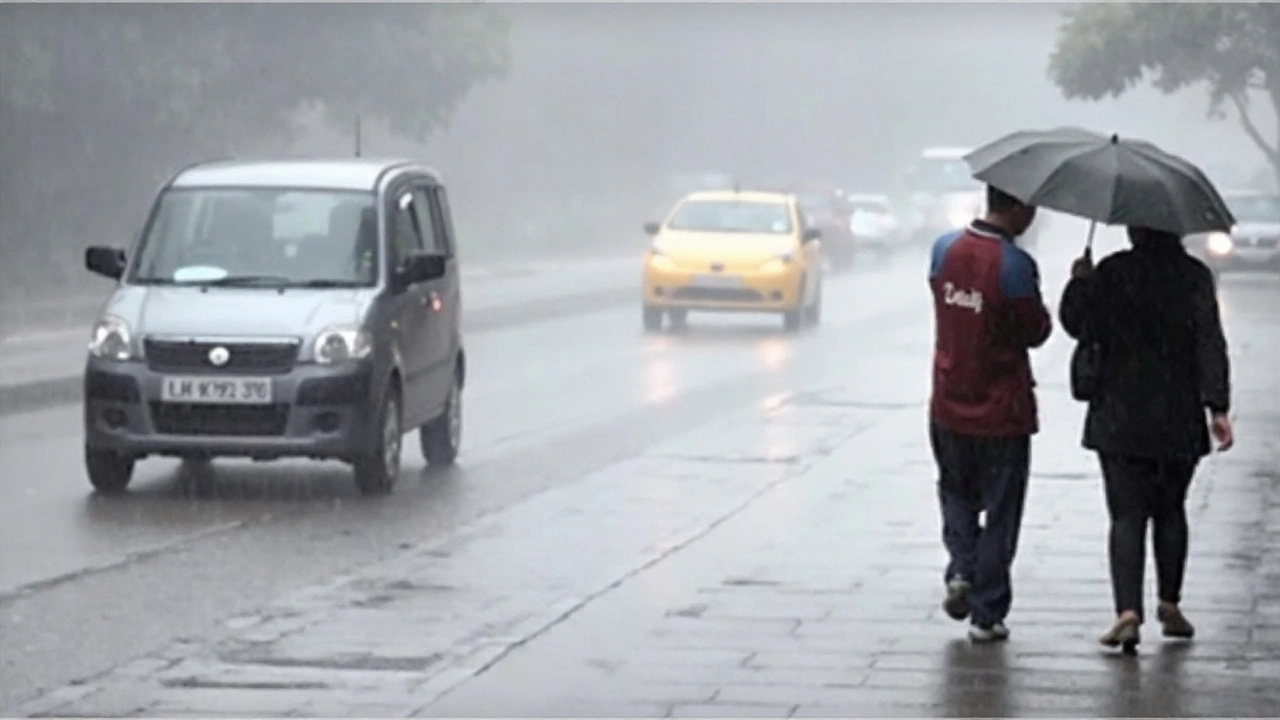
Recent Impacts Across India
In the past few days, the IMD flagged a low‑pressure system that caused heavy rain alerts in 22 districts of Madhya Pradesh. The alert warned of water‑logging and reduced visibility, reminding commuters to drive carefully. A similar system pushed clouds over Delhi, but an upper‑level anti‑cyclone created a high‑pressure barrier, stalling the rains despite the thick cloud cover.
These events show two sides of the same coin. In MP, the low helped the monsoon deliver needed rain, while in Delhi it contributed to a “monsoon delay” that left the city waiting for a break. The difference often comes down to the system’s location and the surrounding wind patterns – a detail the IMD tracks with satellite data and model runs.
If you live in coastal or central regions, keep an eye on IMD’s updates. A sudden dip in sea‑level pressure can mean a burst of showers within hours. For those in the north, a strong low can break a dry spell, but a weak one might keep the heat lingering.
Besides rain, low‑pressure systems can affect temperatures. When they linger, cloud cover can keep daytime highs cooler but night temperatures warmer, leading to a humid feeling. That’s why cities like Agra and Delhi often report a “sticky” monsoon when a low sits nearby.
In short, the Bay of Bengal low‑pressure system is a weather engine that fuels the Indian monsoon. Whether it brings relief or delays depends on its strength, speed, and the surrounding atmospheric conditions. Stay tuned to the IMD, watch for local alerts, and plan your day accordingly.