MP Weather Update: Monsoon Surge Triggers Heavy Rain Alerts Across 22 Districts
 Aug, 25 2025
By Orion
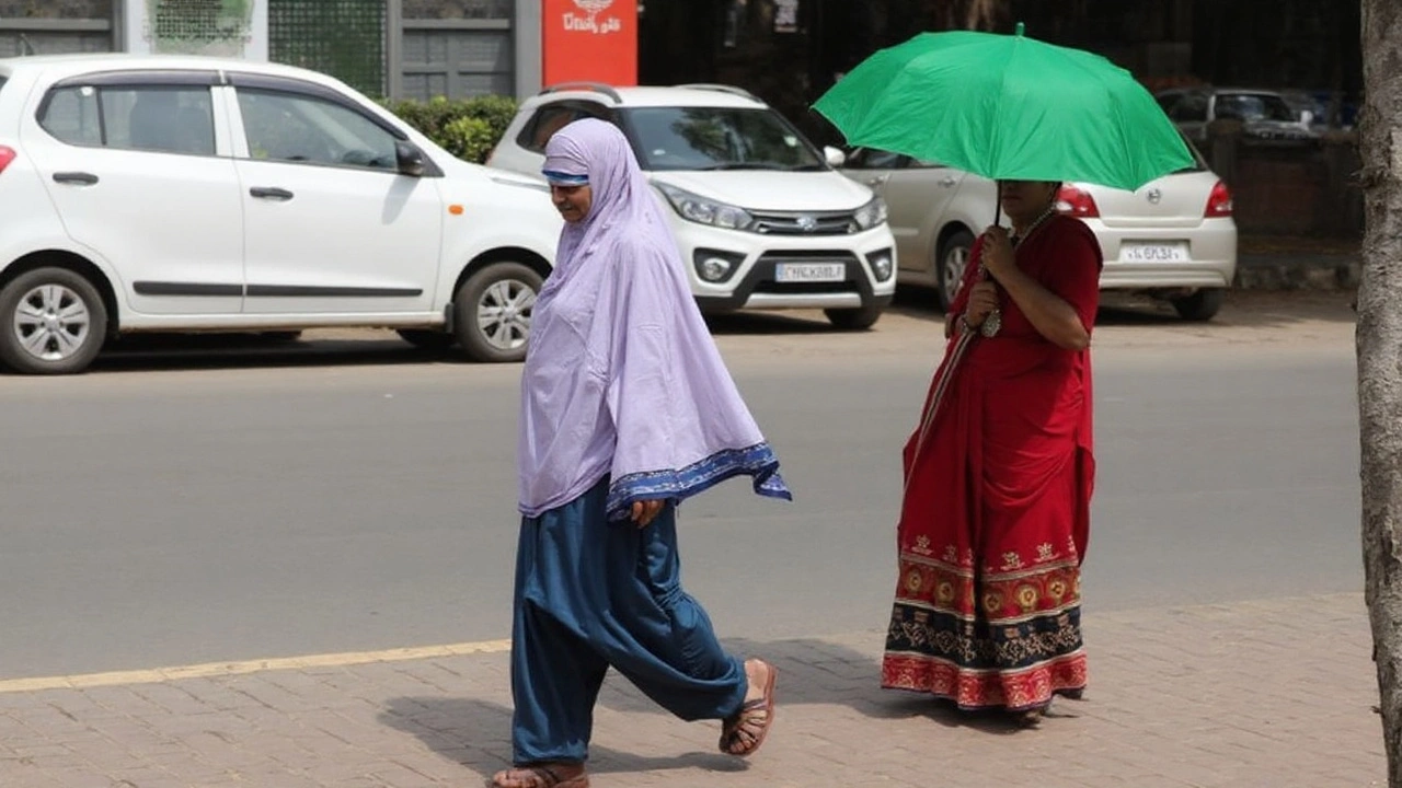
MP Weather Update: A fresh pulse in the monsoon is drenching Madhya Pradesh, and the India Meteorological Department (IMD) has flagged a busy few days ahead. A low-pressure area and an active monsoon trough over central India are driving widespread rain, with 22 districts likely to see heavy spells in the next 24 hours. Bhopal, Ujjain, Sheopur, and Neemuch are on alert, while eastern belts could catch the most intense downpours through August 27.
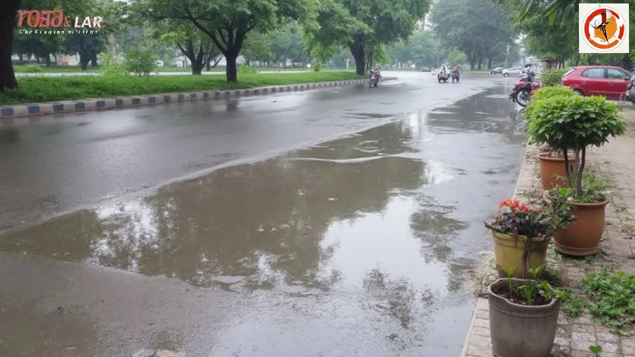
The IMD’s latest guidance points to heavy to very heavy rainfall across parts of the state as the system stays energized by cyclonic circulation. A press note on August 24, 2025, confirmed that heavy to very heavy rain (7–11 cm) has already been observed at isolated places in West Madhya Pradesh, with very heavy totals (12–20 cm) in some eastern pockets. Daytime temperatures are holding in the 23–27°C range, which keeps the air humid and primes the atmosphere for prolonged showers and thunder.
Heavy rain alerts and district-wise outlook
The warning map is busy. Here’s how the next few days stack up, based on IMD advisories and the evolving track of the monsoon trough:
For August 26: Sheopur, Seoni, Chhindwara, Pandhurna, Mandla, and Balaghat are under heavy rain alerts, with the IMD cautioning about short, intense bursts accompanied by thunder and reduced visibility.
For August 27 (Yellow alert): Khargone, Khandwa, Burhanpur, Narmadapuram, Betul, Narsinghpur, Chhindwara, Pandhurna, Seoni, Balaghat, Mandla, Dindori, and Anuppur. Yellow means be aware—watch the sky, the drains, and the latest bulletins.
Next 24 hours: As many as 22 districts are in line for heavy rain, including Gwalior, Bhind, Morena, Sheopur, Datia, Shivpuri, Guna, Ashoknagar, Neemuch, Mandsaur, Sagar, Damoh, Niwari, Tikamgarh, Chhatarpur, Panna, Satna, Rewa, Mauganj, Mandla, Dindori, and Balaghat. West MP could see repeated spells, while the east is primed for heavier clusters between August 24 and 27.
IMD color codes are straightforward: yellow urges vigilance, orange pushes for preparedness, and red signals immediate action. The department has also flagged that forecast confidence drops as the lead time increases—so decisions should lean on orange/red warnings and the latest localized updates.
Monsoon performance so far is robust. The state tally stands at 34.2 inches this season, just 2.8 inches shy of the seasonal quota. Some districts have raced ahead: Guna has logged around 52 inches, and both Mandla and Ashoknagar have crossed 50 inches. With more wet days ahead, reservoir catchments and minor streams are likely to respond quickly, especially in hilly and forested terrain.
Saturday, August 24, saw rain in 20 districts, including Shivpuri, Dindori, and Shajapur. That pattern is likely to repeat in pulses this week as the low-pressure area feeds moisture into the trough. Wind gusts, frequent lightning, and rapid cloud build-ups are all on the table during peak convective hours—typically afternoon into night.
What this means for residents and services
The IMD has warned of localized flooding and waterlogging in low-lying pockets, along with poor visibility during heavier bursts. Urban areas like Bhopal and Ujjain, which are already on alert, should expect slow traffic, ponding on key stretches, and periodic power interruptions where feeders trip for safety.
Travel and daily routine:
- Plan commutes with extra time. Avoid underpasses, causeways, and stretches known to flood quickly.
- Keep phones charged and carry a basic rain kit: flashlight, power bank, drinking water, and a small first-aid pouch.
- If you drive, stick to the middle of the road where possible, avoid overtaking in poor visibility, and don’t cross fast-flowing water.
For districts on the heavy rain list, drains and culverts can overwhelm fast. Authorities have been told to keep pumps ready, clear choked stormwater lines, and coordinate with power utilities. In hilly zones and along smaller tributaries, short lead-time rises in streams are likely—watch riverbanks and avoid risky crossings after dusk.
Farms and rural pockets:
- Kharif fields will benefit from the moisture, but low-lying plots could see lodging or temporary standing water. Clear field channels to help runoff.
- Store inputs and feed under cover. Secure tarpaulins and check the bunds on farm ponds.
- For dairy and poultry, ensure dry bedding and ventilation; humidity will stay high.
Public services and infrastructure:
- Municipal bodies are expected to stage dewatering units at known choke points and keep emergency crews on rotational shifts.
- Hospitals and essential services should test backup power and secure oxygen and fuel stocks for at least 48–72 hours of intermittent disruption.
- State highways and district roads may see treefall and slush; motorists should heed diversions and avoid night travel on forest stretches during active rain.
For residents in Sheopur, Morena, and parts of the northern belt, gusty winds may accompany rain bands as the system moves. Central districts like Bhopal and Narmadapuram could see repeated showers with short dry gaps, while the eastern arc—Seoni, Balaghat, Mandla, Dindori, and Anuppur—remains exposed to heavier clusters through mid-week.
Keep an eye on the basics: charge up, store drinking water, and move valuables off the floor in flood-prone homes. If you live near construction pits or basement-level parking, relocate vehicles and block water ingress with sandbags or boards. For gated societies, check whether sump pumps are working and if diesel for generators is stocked.
Lightning safety is non-negotiable. The IMD’s thunderstorm notes imply frequent strikes with these rain bands. If you hear thunder, head indoors, avoid open fields and lone trees, and keep metal equipment away from windows. Unplug non-essential electronics during severe bursts.
Finally, a quick read on the forecast confidence: short-range guidance (today and tomorrow) is strong when the system is already in place, as it is now. Beyond 72 hours, the usual monsoon uncertainties kick in—track wobbles, fresh pulses from the Bay, and breaks in convection. That’s why the IMD emphasizes acting on orange and red alerts and checking district-wise bulletins each morning and evening.
The bottom line for the week: more rain for most, pockets of very heavy rain in the east, and steady, sometimes stubborn showers for the center and west. If you don’t need to travel during peak downpours, don’t. If you do, plan smart and stay alert to quick changes—monsoon bands often flip the script in under an hour.